Google Maps:
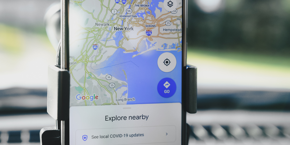
Google Maps hidden features: This helps you understand the available amenities at any location. Google Maps is a versatile and comprehensive mapping service that can be used for direction, place search, travel planning, and many other purposes.
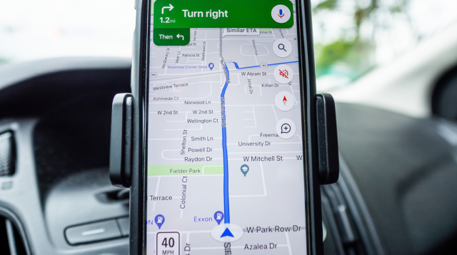
The primary use of Google Maps is to provide directions and navigation to reach a specific location or destination. You can search for any place and get the best route and travel time information.
You can also view live traffic updates and options, as well as the Street View.
Google Maps can be used to search for specific types of locations, such as restaurants, hotels, shops, and more. You can use filters to narrow down your preferred places and get additional information about them. Google Maps can be used to plan your travel itinerary.
You can add multiple stops along the same route and create a multi-stop trip plan. You can also explore carpool or vanpool options.
Google Maps hidden features:
By knowing these hidden features of Google Maps, you will become smart, people will pay attention.
1. Street View Time Travel:
- This feature allows you to see how a particular location has changed over time on Google Maps.
- You can view the street view of a location and then use the timeline slider at the top to see historical imagery from previous years.
- You can see how a city center has evolved over the past decade by using the Street View Time Travel feature.
2. Mobility Insights:
- Google Maps provides insights into the activity and foot traffic patterns around nearby locations.
- This data can help you estimate the level of crowdedness or busyness at a particular place.
- You can check the Mobility Insights for a popular shopping mall to determine the best time to visit and avoid the peak hours.
3. Carpool and Vanpool Suggestions:
- This feature suggests options for you to share a ride with others who are traveling to a similar destination.
- It helps you find carpooling or vanpooling opportunities to save on fuel costs and reduce environmental impact.
- If you’re commuting to work, Google Maps can suggest carpool options with colleagues who live nearby and are traveling at a similar time.

4. Carbon Footprint:
- Google Maps calculates the estimated carbon footprint of your trip based on the mode of transportation you choose.
- This information can help you make more environmentally-conscious decisions about how you travel.
- When planning a road trip, you can compare the carbon footprint of driving versus taking the train or bus to choose the most eco-friendly option.
5. Multi-stop Itinerary:
- This feature allows you to plan a trip with multiple stops along the same route.
- You can add multiple destinations to your route and Google Maps will provide the optimal driving directions.
- If you need to run errands at different locations, you can use the multi-stop itinerary to efficiently plan your route and save time.
6. Live Traffic Updates:
- Google Maps provides real-time traffic information to help you navigate around delays and congestion.
- It uses data from various sources, including user location and speed, to provide accurate and up-to-date traffic conditions.
- During your morning commute, you can check the live traffic updates on Google Maps to identify any accidents or heavy traffic areas and choose an alternative route.
7. Customized Route Suggestions:
- Google Maps learns from your past travel history and preferences to suggest personalized route options.
- It takes into account factors like your usual mode of transportation, travel time, and route preferences to provide customized route suggestions.
- If you frequently take the same route to work, Google Maps will learn your preferences and suggest the most efficient route for your daily commute.
By leveraging these hidden features, you can get more value out of Google Maps and optimize your travel experiences.

Also Read: These 8 businesses are for villagers, earn lakhs.
8 steps to book a cab directly from Google Maps without using Ola, Uber or Rapido apps:
- Open Google Maps and search for your destination.
- Get the directions to your destination.
- Below the directions, you will see options for “Cab”, “Rapido” or “Uber”.
- Click on any of these options.
- You will now see the available cab or ride-sharing options for your trip.
- You can select your preferred option and proceed to book directly from Google Maps.
- During the booking process, you can enter your passenger details and other information.
- The payment can also be made directly through Google Maps.
This way, you can use Google Maps to directly book any cab or ride-sharing service without having to use a separate app.

Read More: Google Maps hidden features
